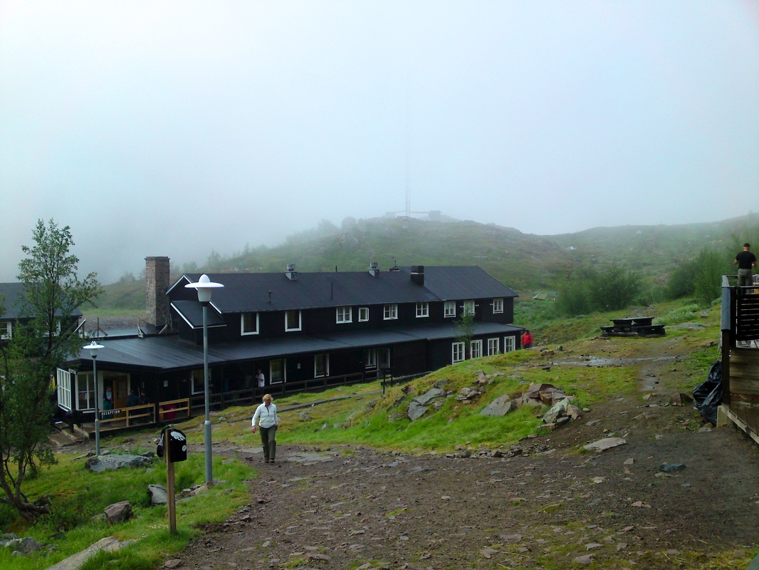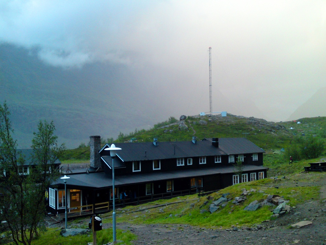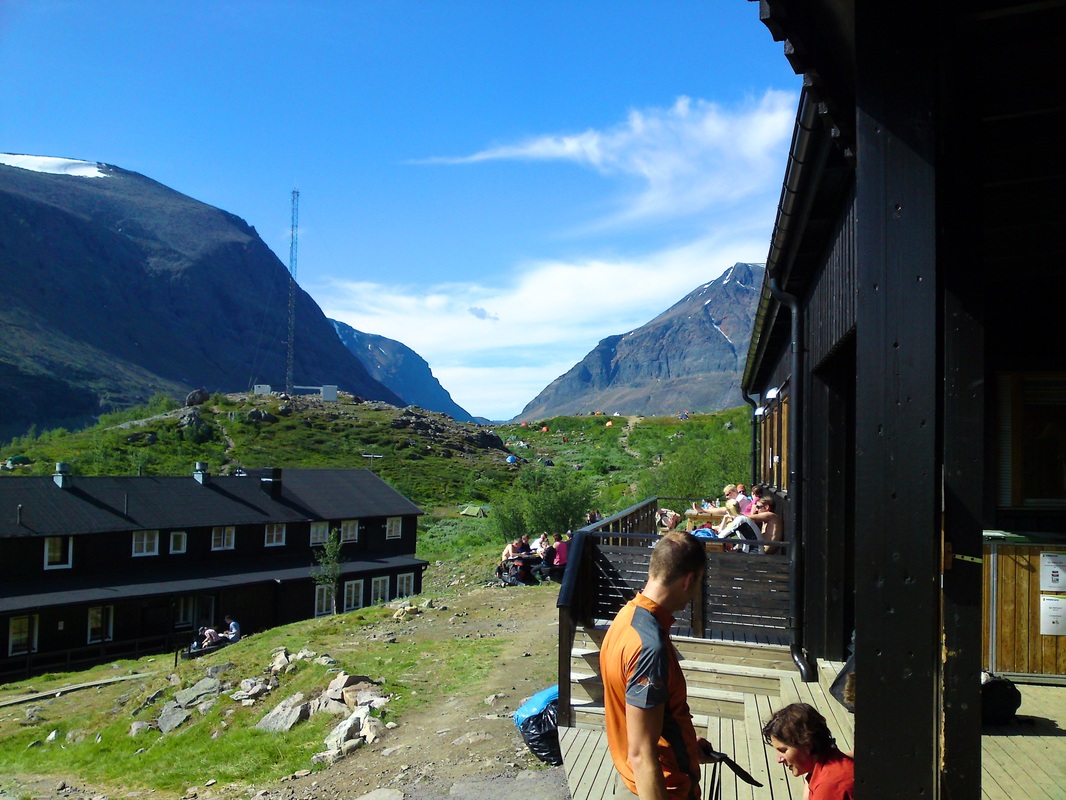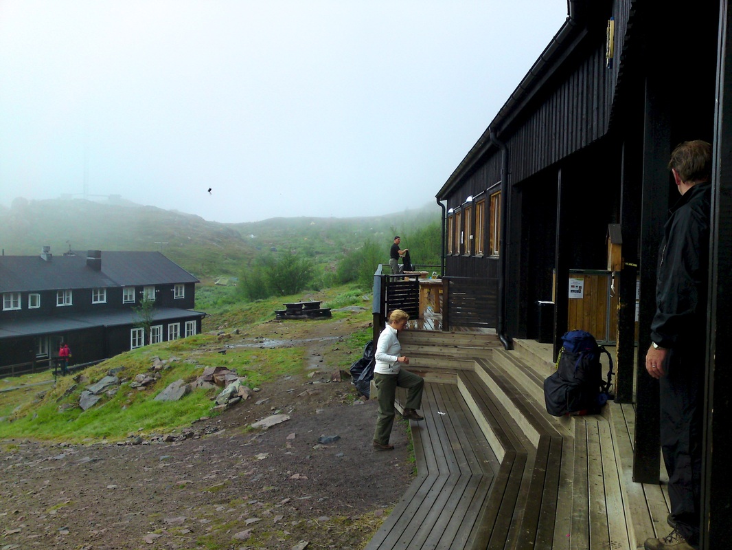
Hiking Kebnekaise
|
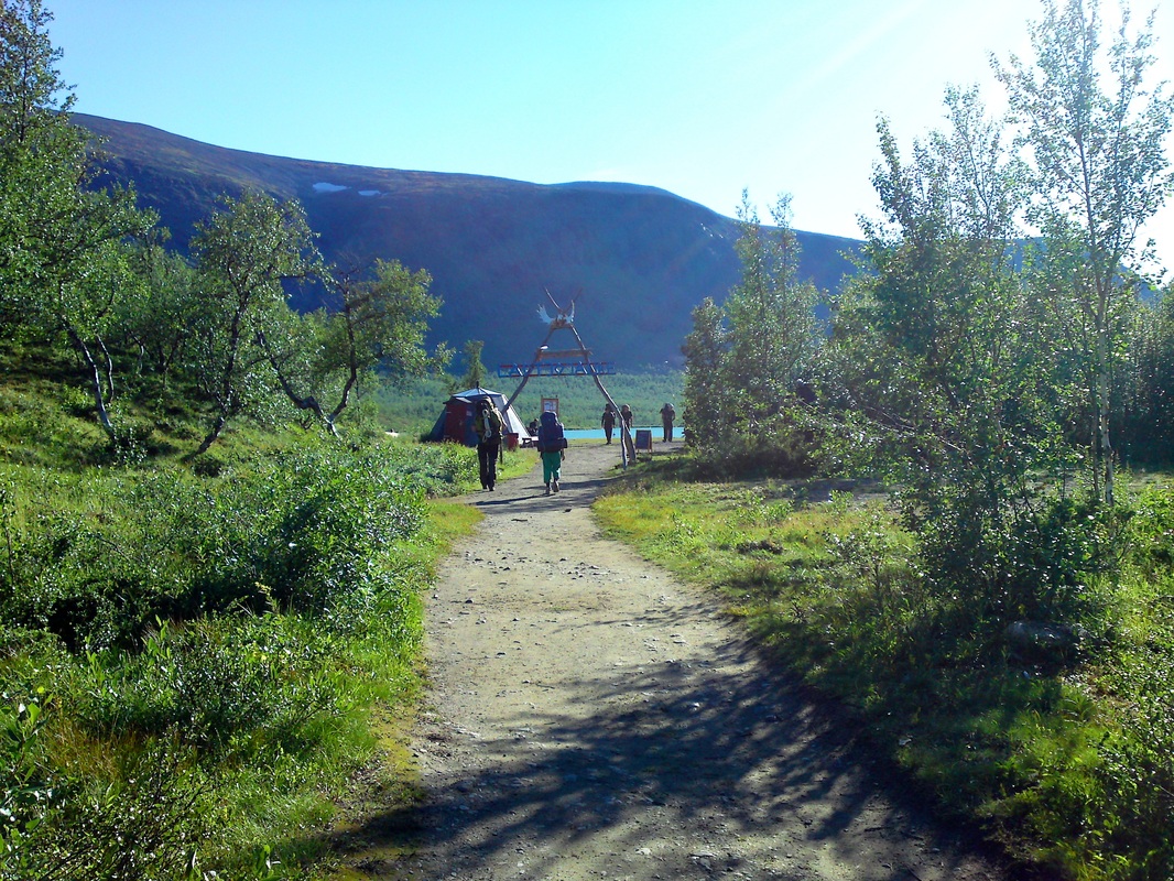
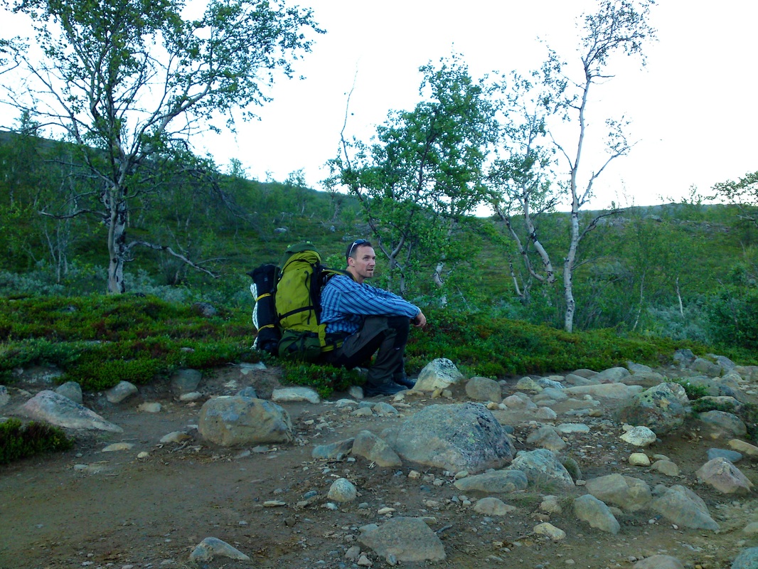
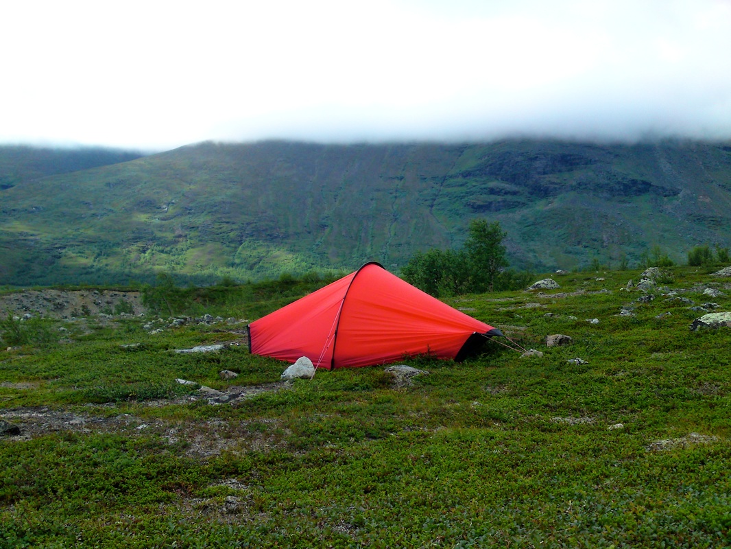
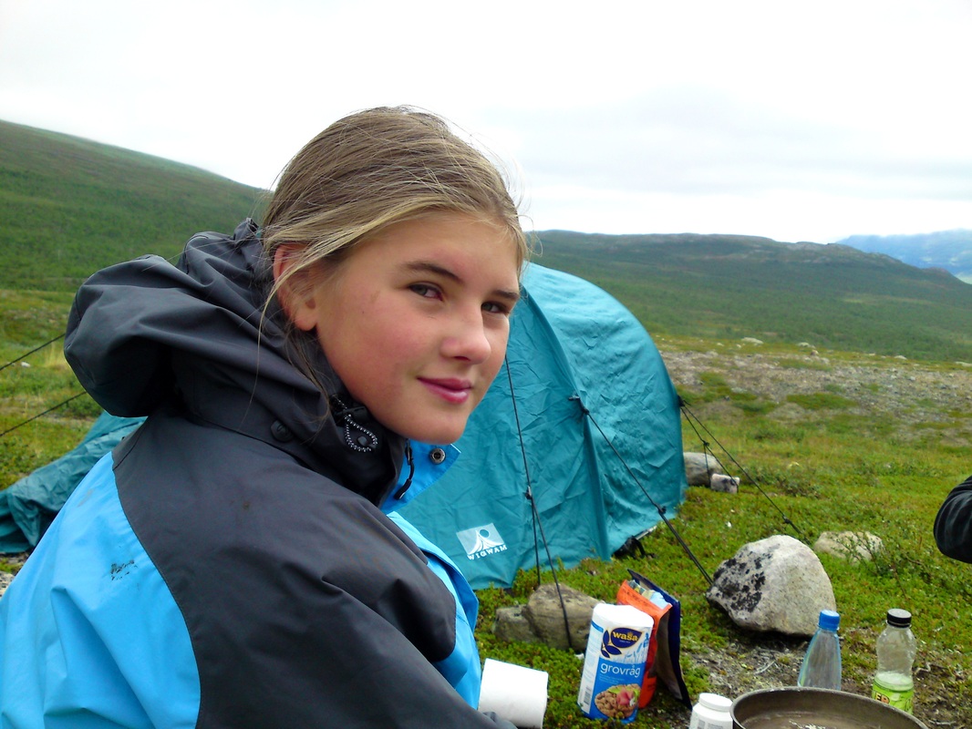
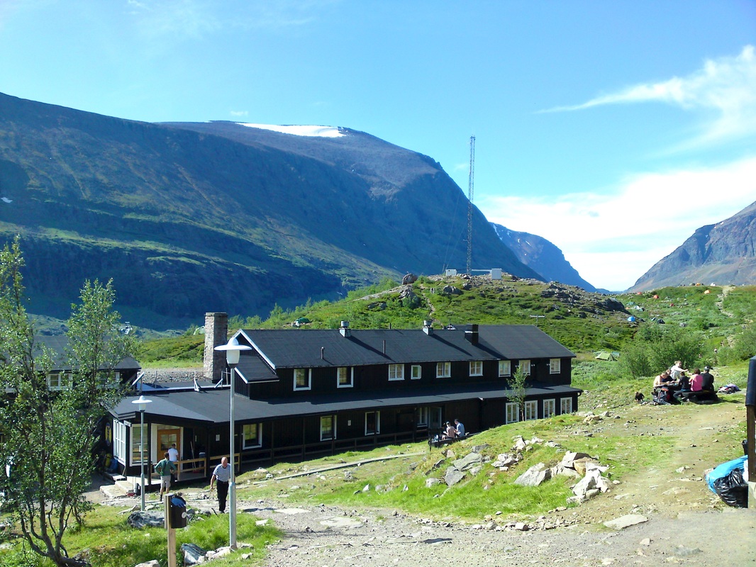
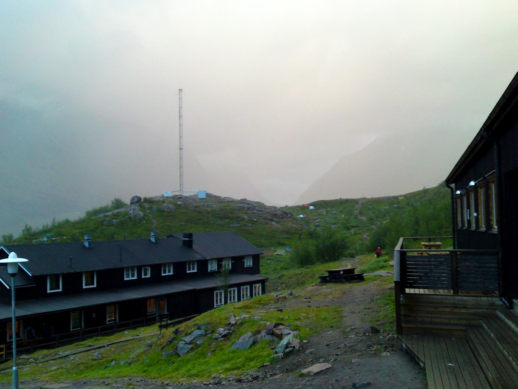
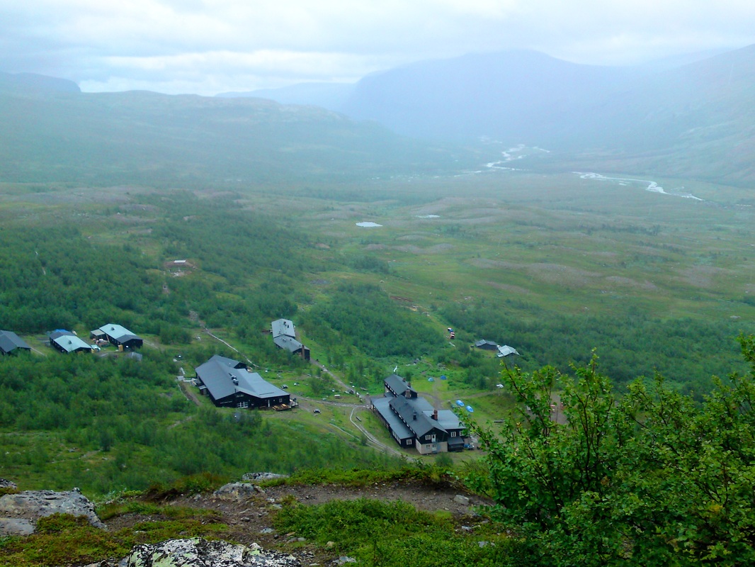
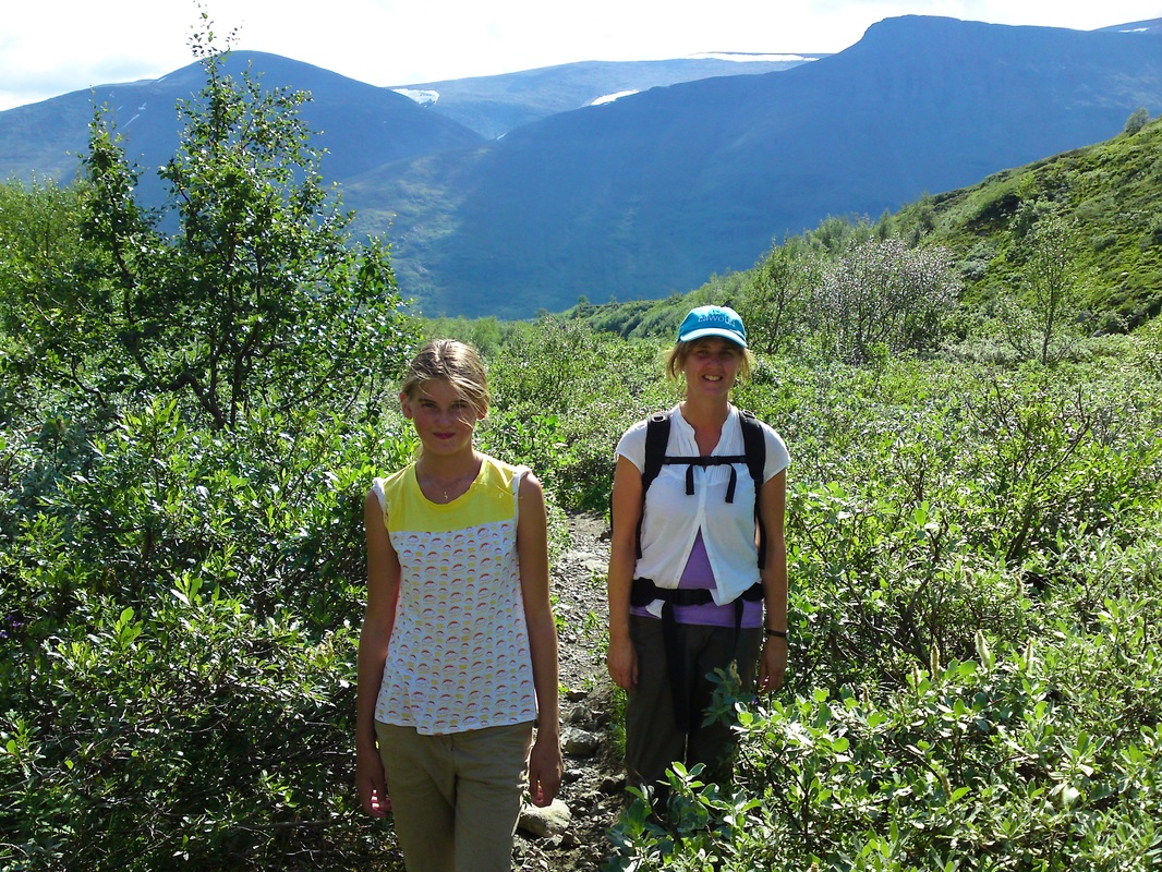
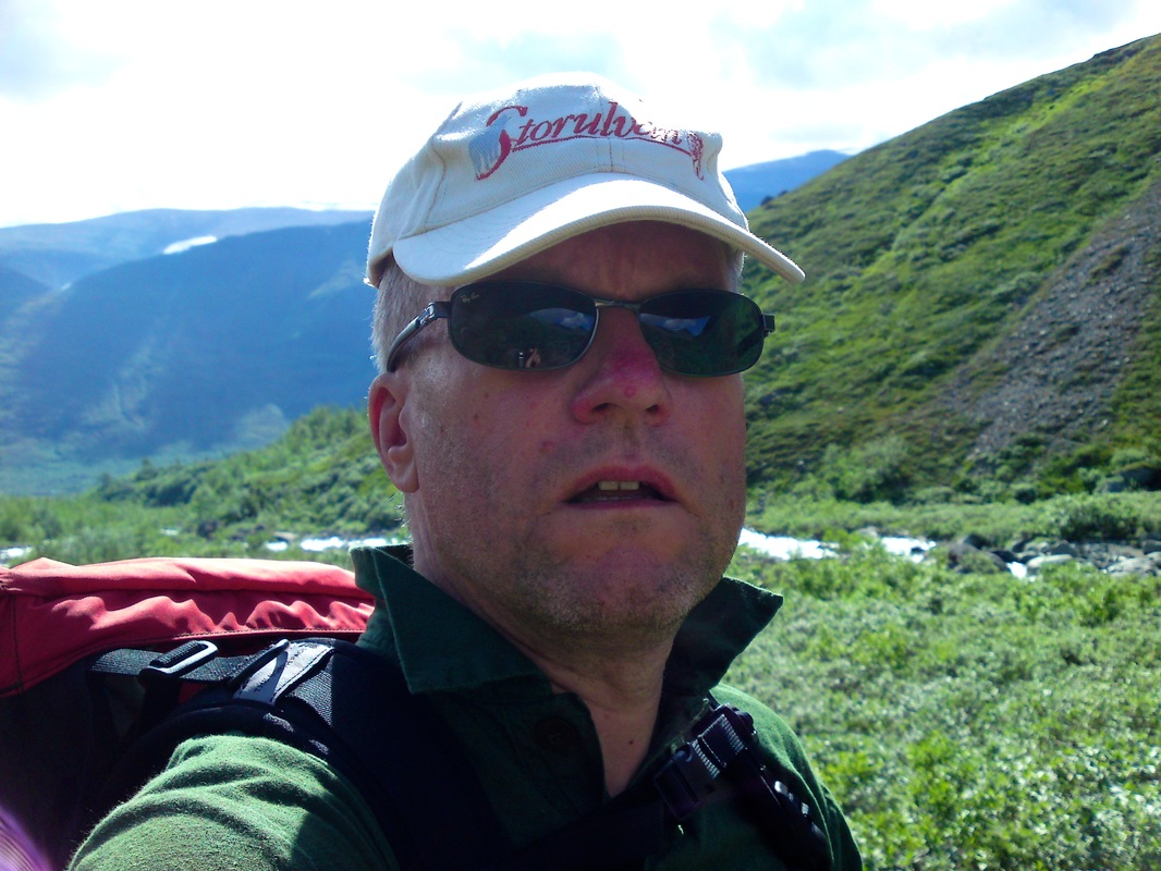
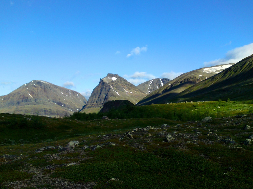
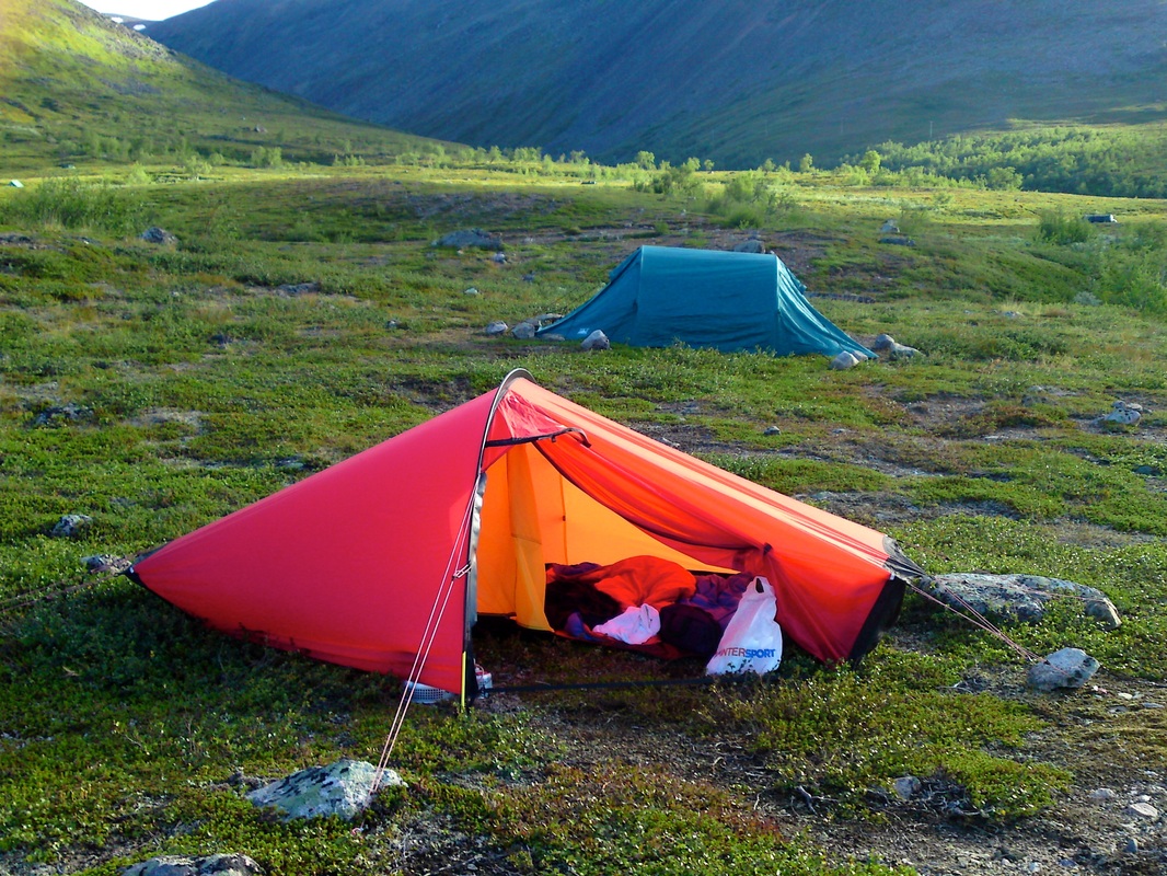
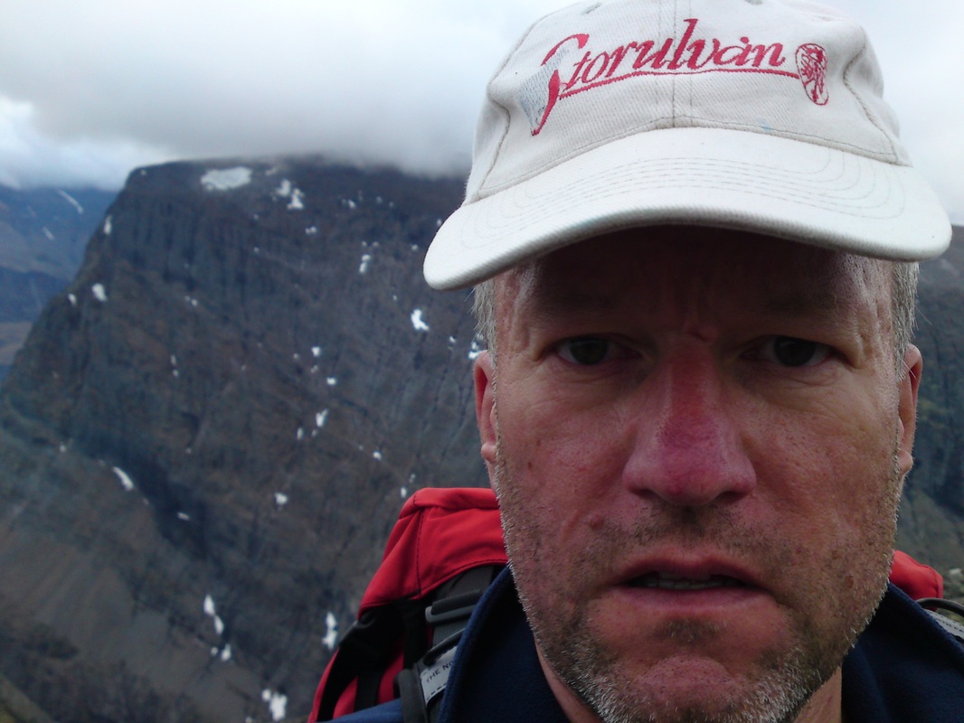
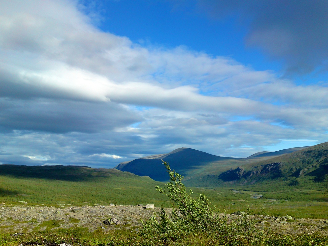
Photos from activities around Kebnekaise fjällstation (Kebnekaise mountain lodge) and the ascent of Kebnekaise, the highest mountain in Sweden 2104 m*.
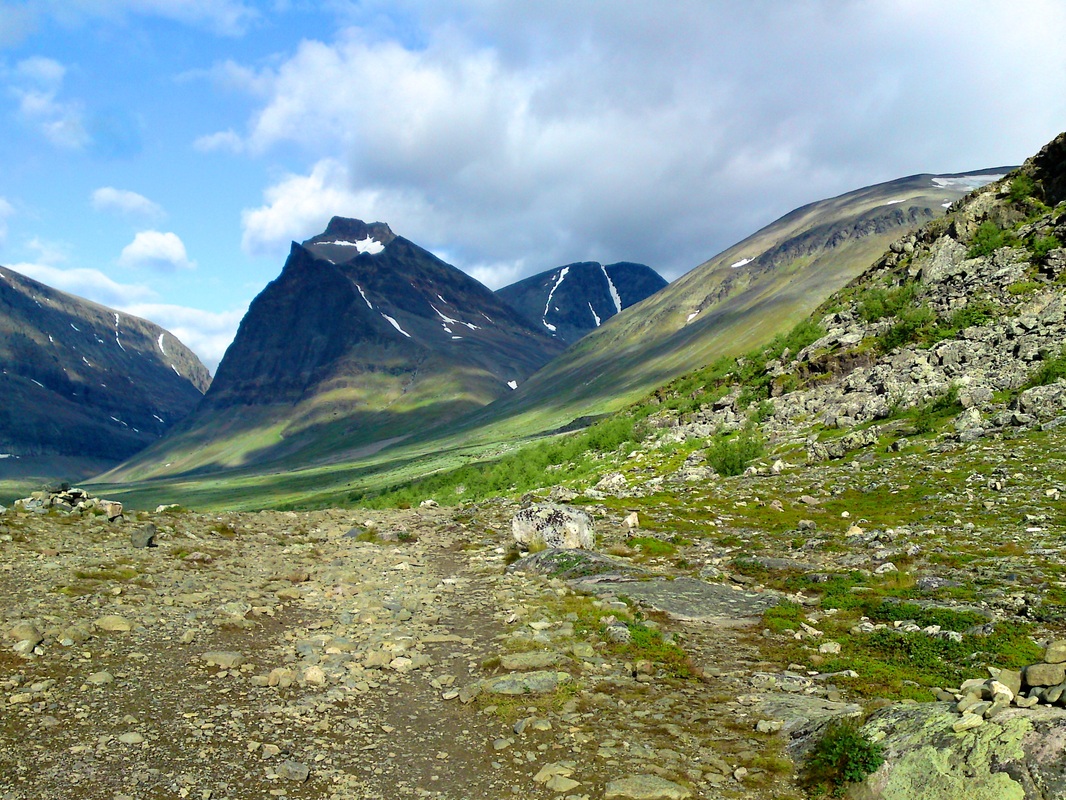
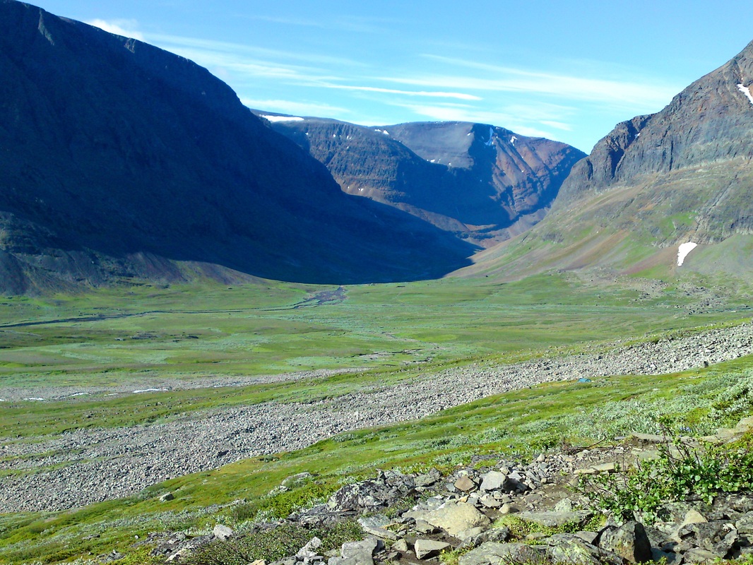
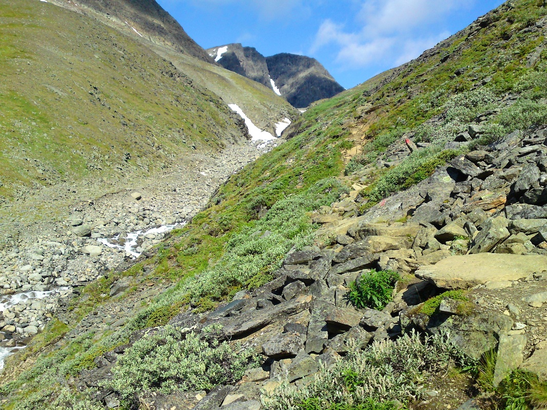
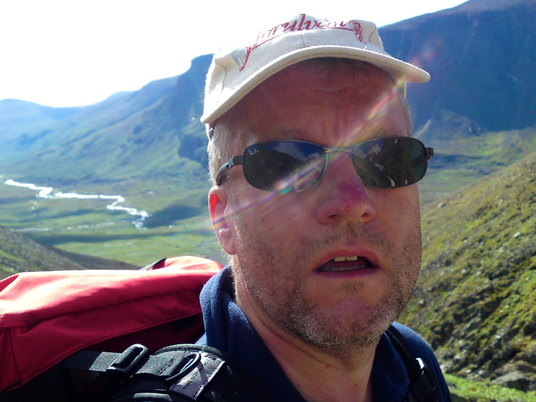
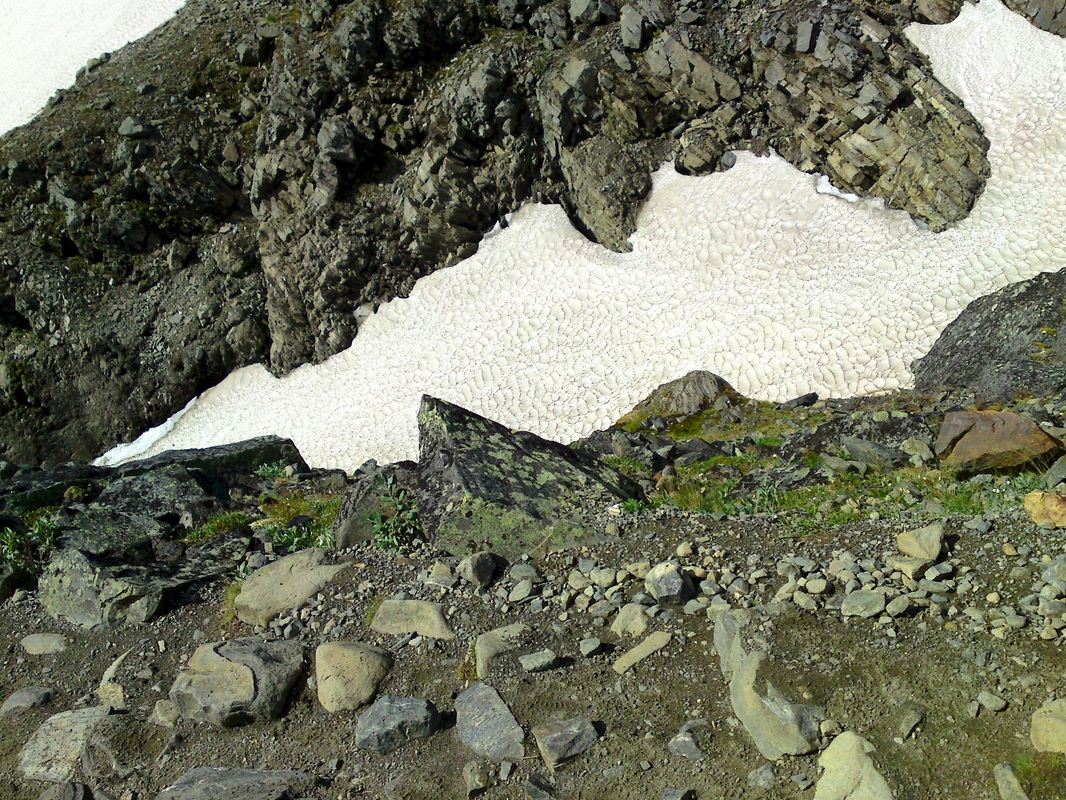
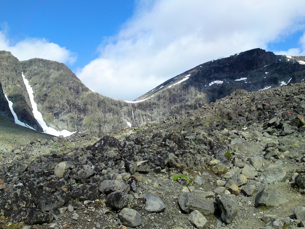
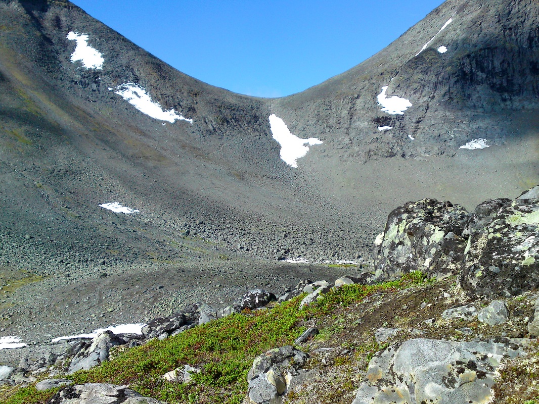
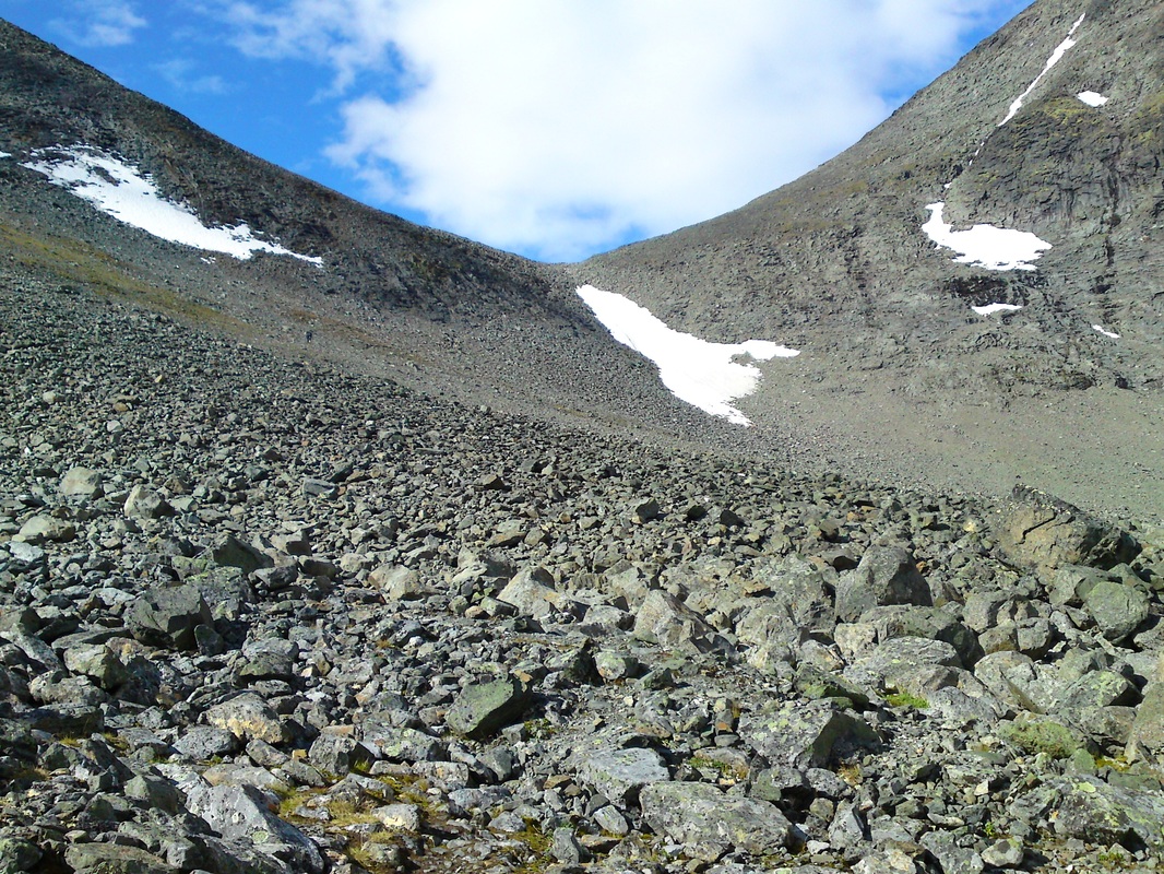
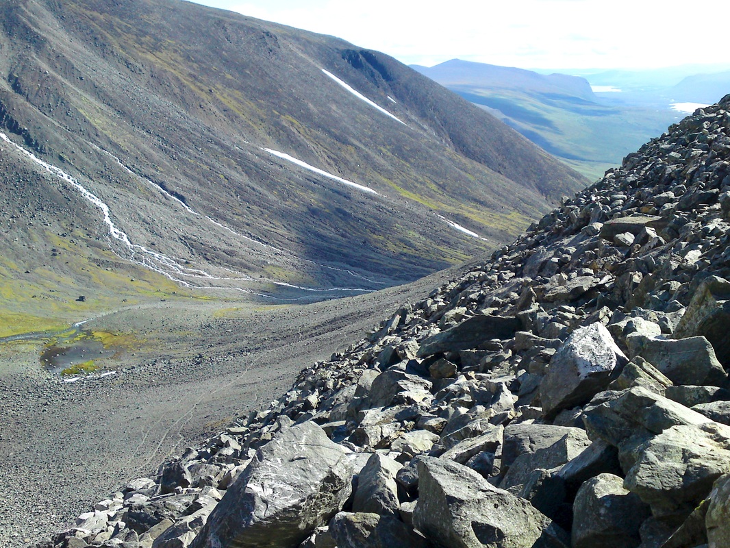
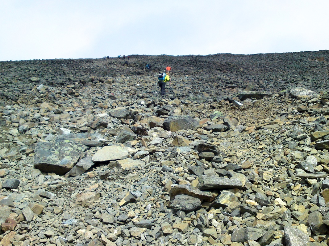
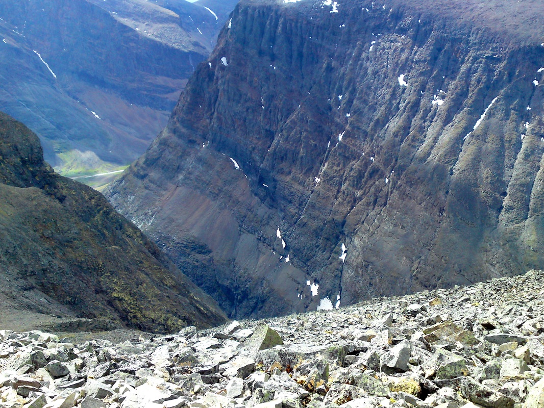
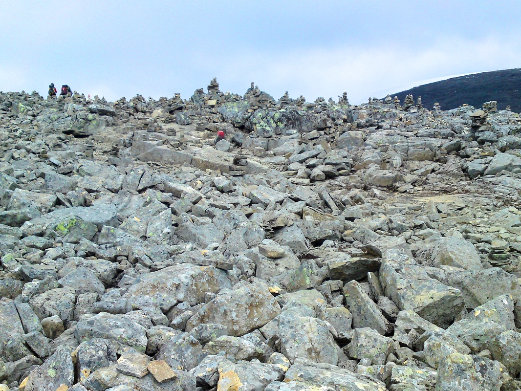
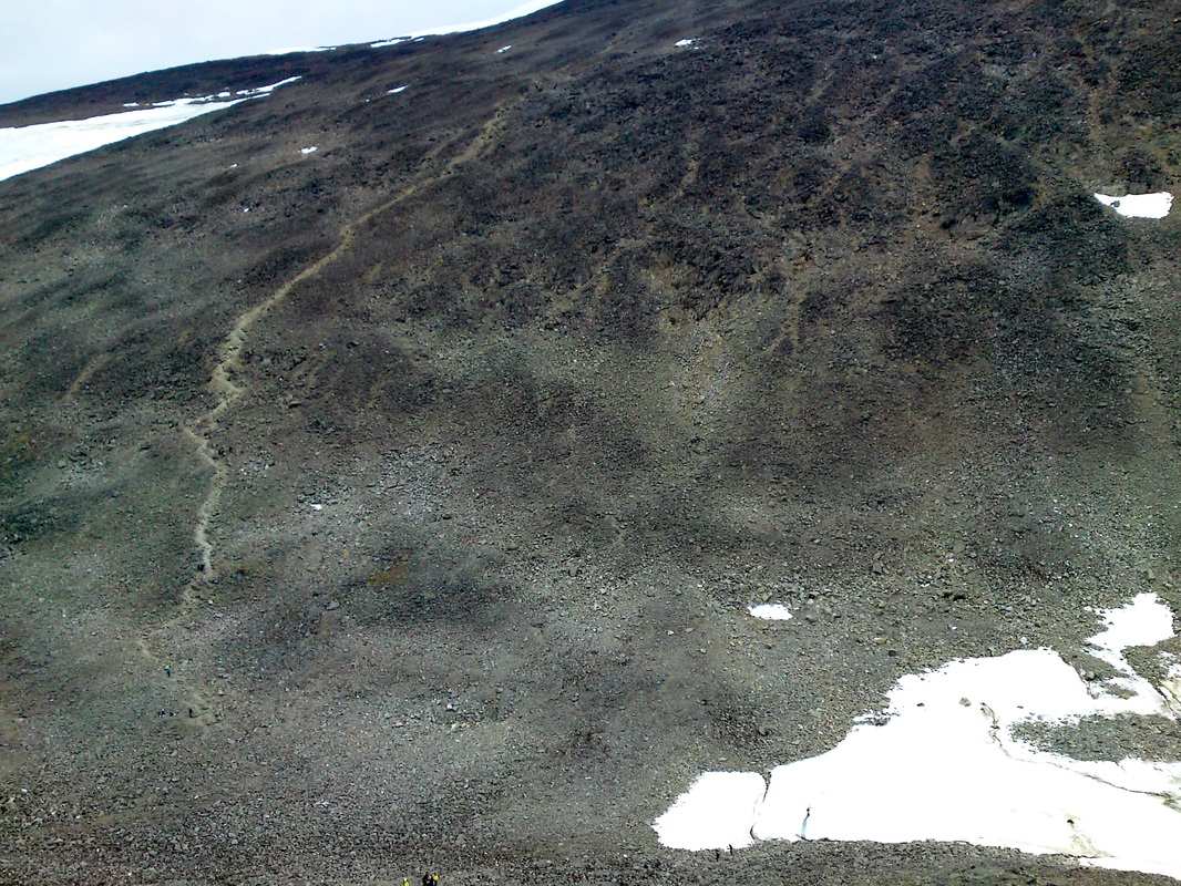
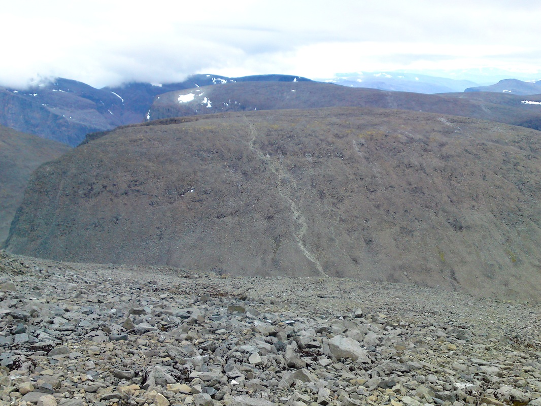
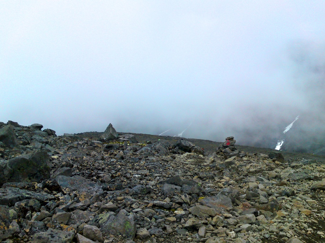
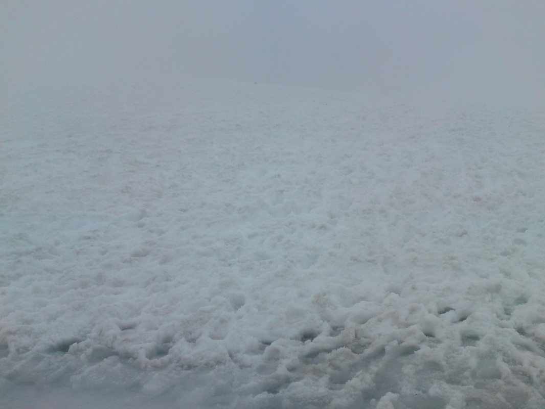
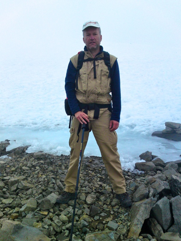
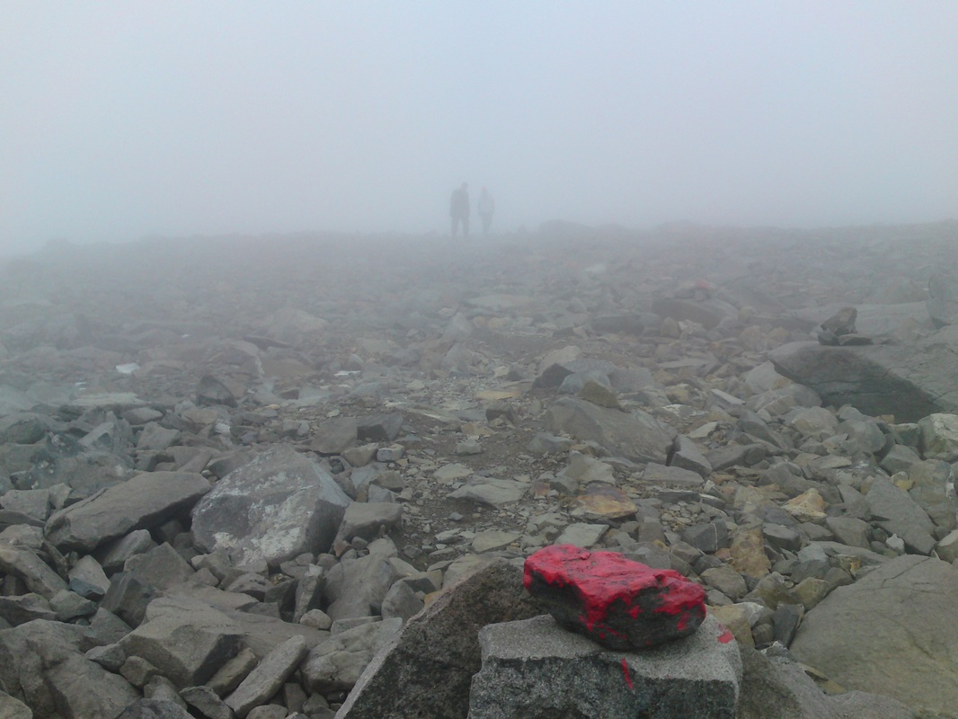
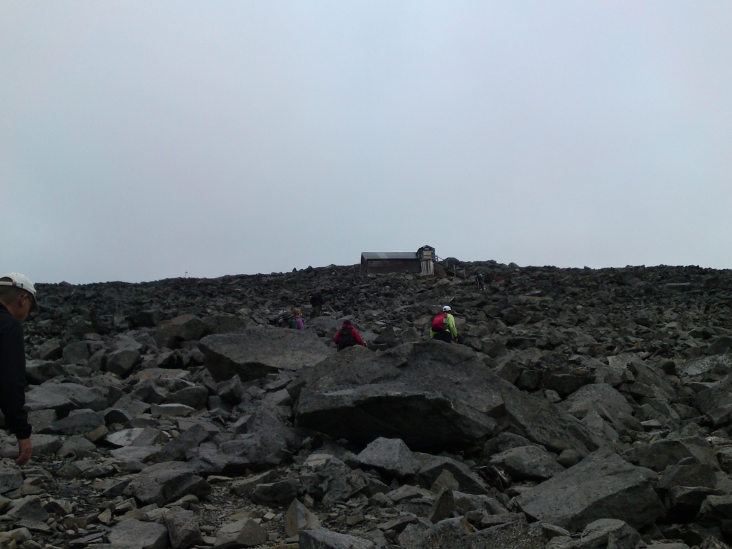
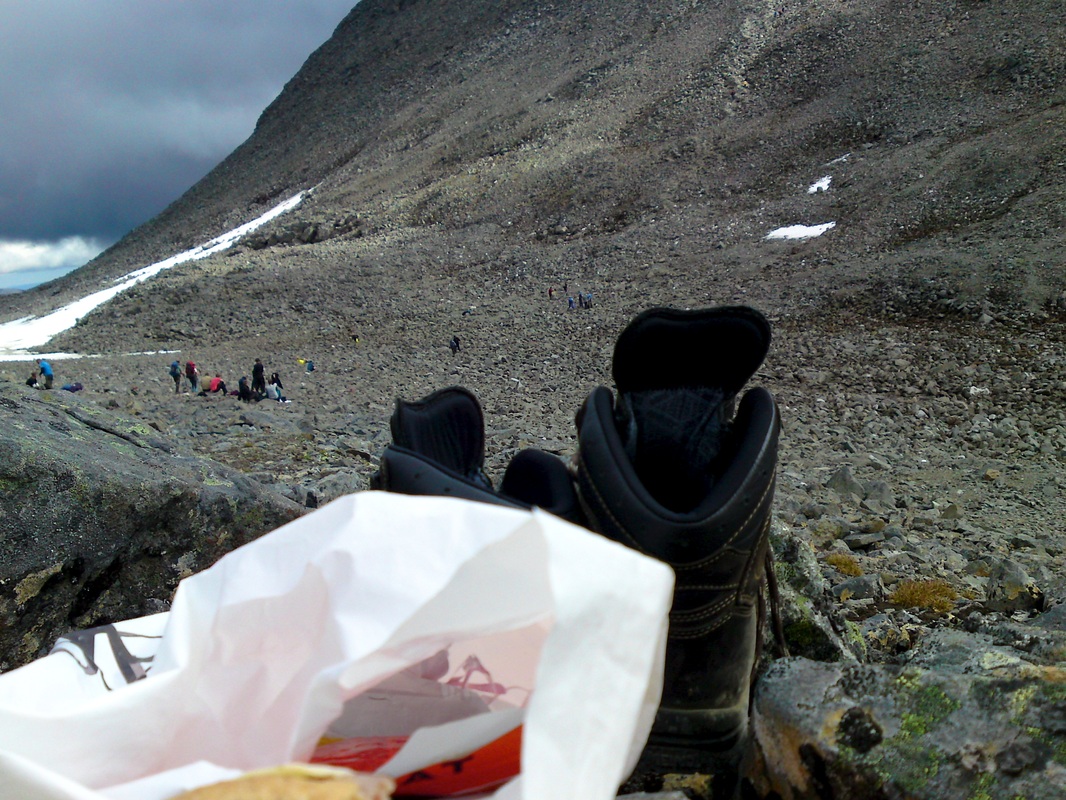
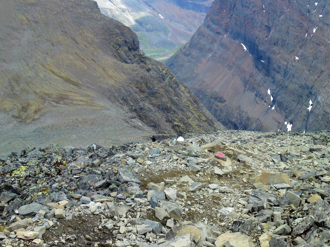
There are two distinct summits on Kebnekaise, Sydtoppen (South summit) and Nordtoppen (North summit). Sydtoppen is the highest point of Sweden. On the summit there's snow and ice all year around. The height varies, depending on time of year and weather. Sydtoppen is a small glacier, about 40 meters thick. I went Västra leden (Western route) and it goes from Kebnekaise fjällstation (670 m*) via Kitteldalen (Kittel valley) up to Kittelsjön (Kittel lake 1194 m*), ascent of Vierramvare (1711 m*), descent to Kaffedalen (Coffee Valley 1520 m*) and finally the ascent up to Sydtoppen (2104 m*). The distance back and forth Kebnekaise fjällstation is around 26 km and it took me around 11 hours to complete the trip. You need to be in fairly good shape in order to fully enjoy the trip. No climbing is required but some parts are pretty steep and rocky so a pair of hiking poles are useful and will save your knees on the descent. * meters above sea level |
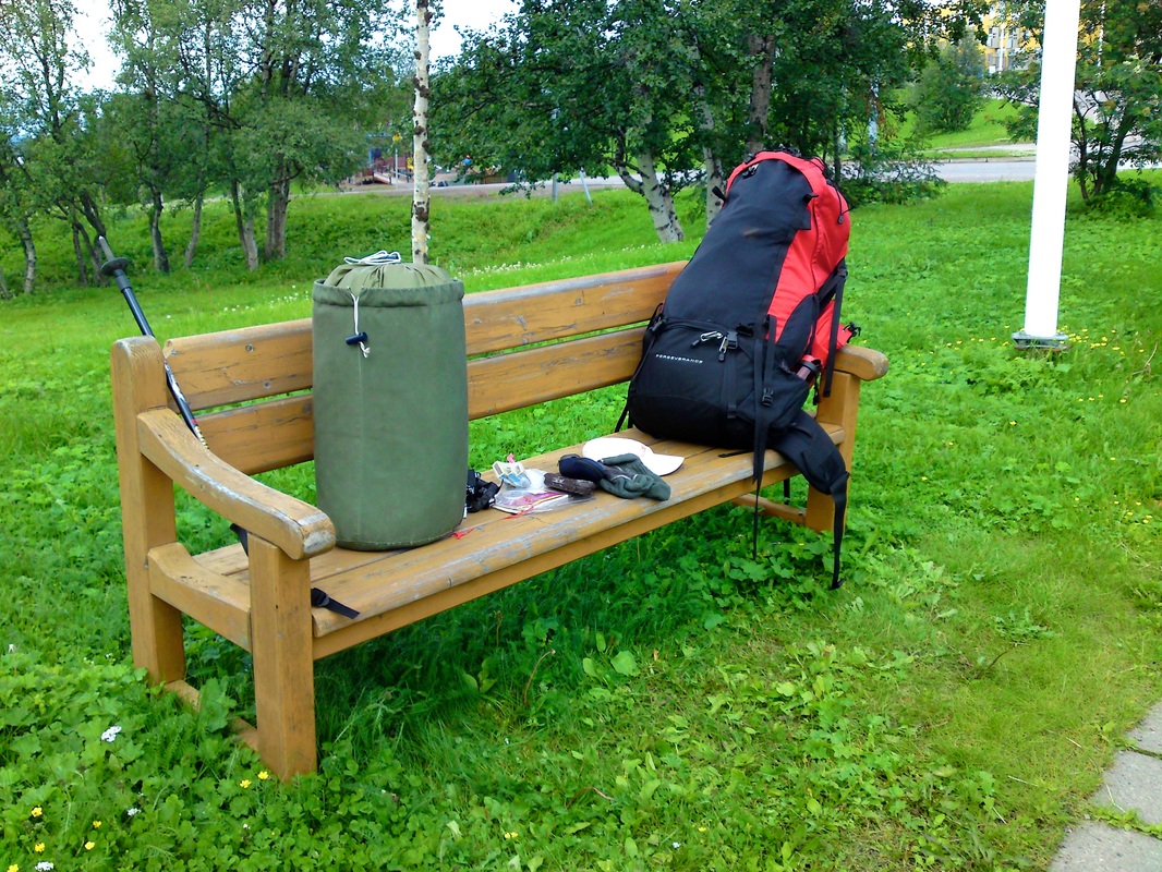
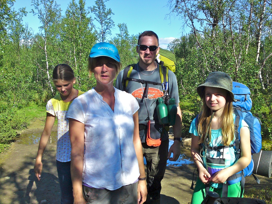
Note! Click on images to see slideshow and captions!