
Mt Pinatubo, Philippines
|
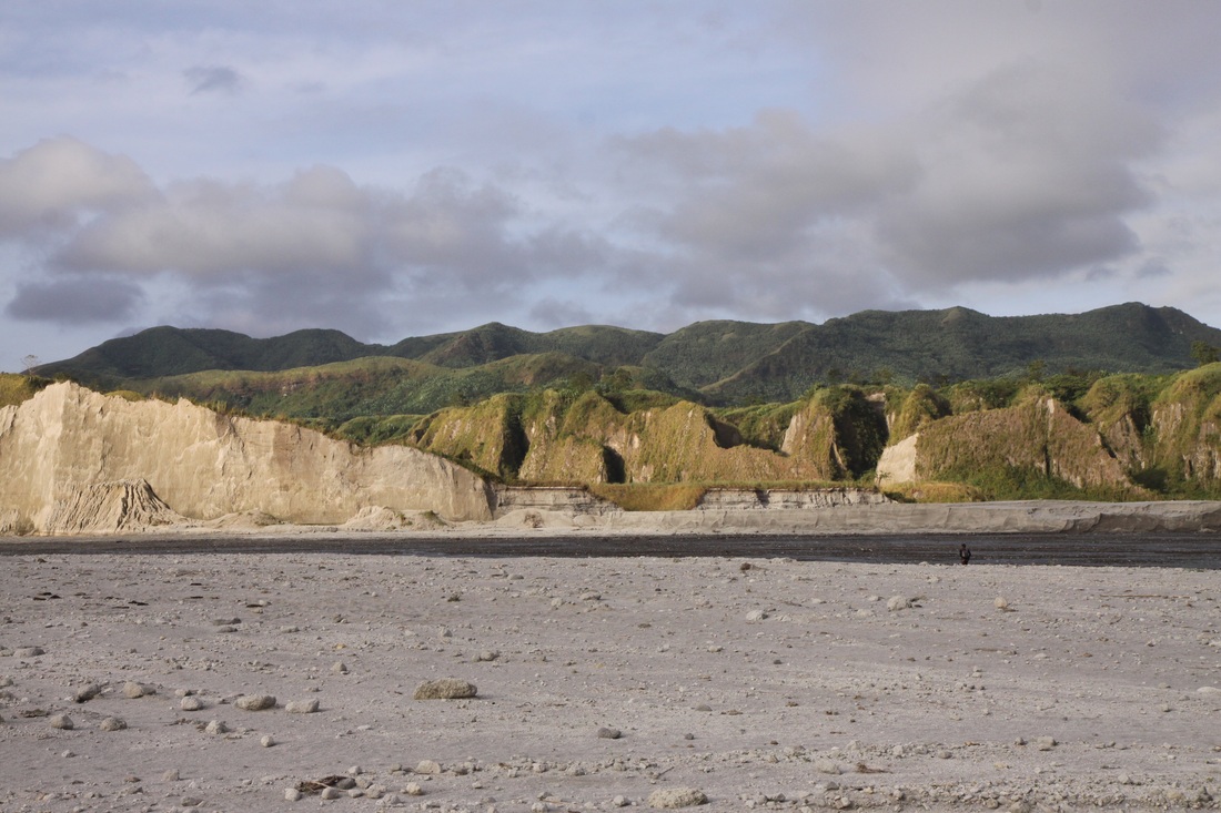
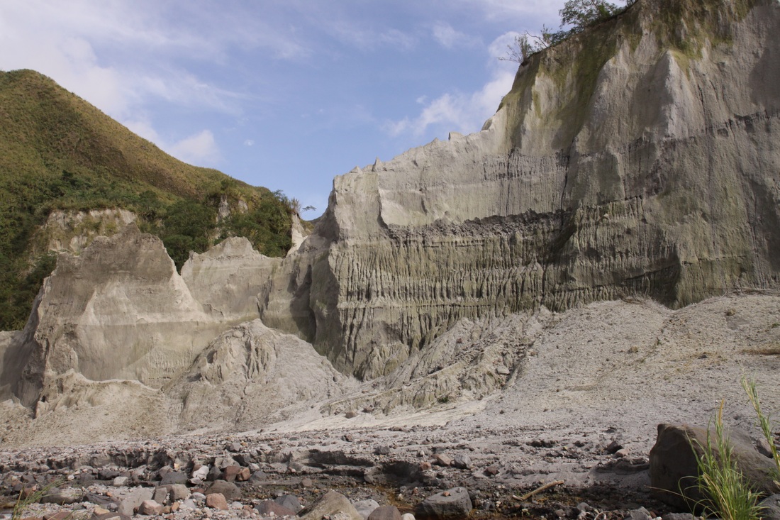
Mount Pinatubo is an active stratovolcano located on the island of Luzon. Before 1991, the mountain has no recorded historical eruptions. The volcano's eruption on June 15, 1991 produced the second largest terrestrial eruption of the 20th century after the 1912 eruption of Novarupta in the Alaska Peninsula.
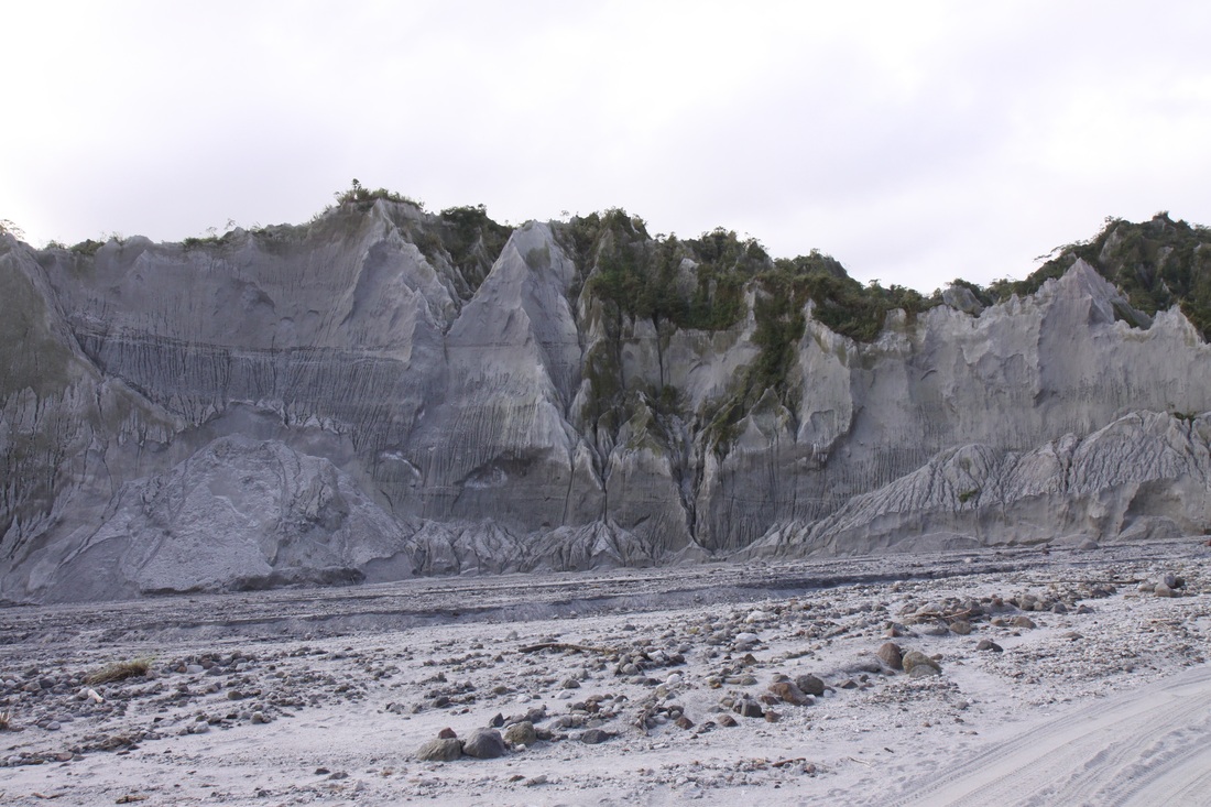
In all, the eruption ejected about ten cubic kilometres (2.4 mile³) of material, making it ten times larger than the 1980 eruption of Mount St. Helens. The former summit of the volcano was replaced by a caldera 2.5 km wide. Over 800 people were killed by the eruption, mostly by roofs collapsing under the weight of accumulated wet ash, a hazard that was greatly exacerbated by the simultaneous arrival of Typhoon Yunya. The evacuation in the days preceding the eruption certainly saved tens of thousands of lives, and has been hailed as a great success for volcanology and eruption prediction. |
The Aeta people were the hardest hit by the eruption. After the areas surrounding the volcano were declared safe, many Aetas returned to their old villages only to find them destroyed by pyroclastic and lahar deposits.
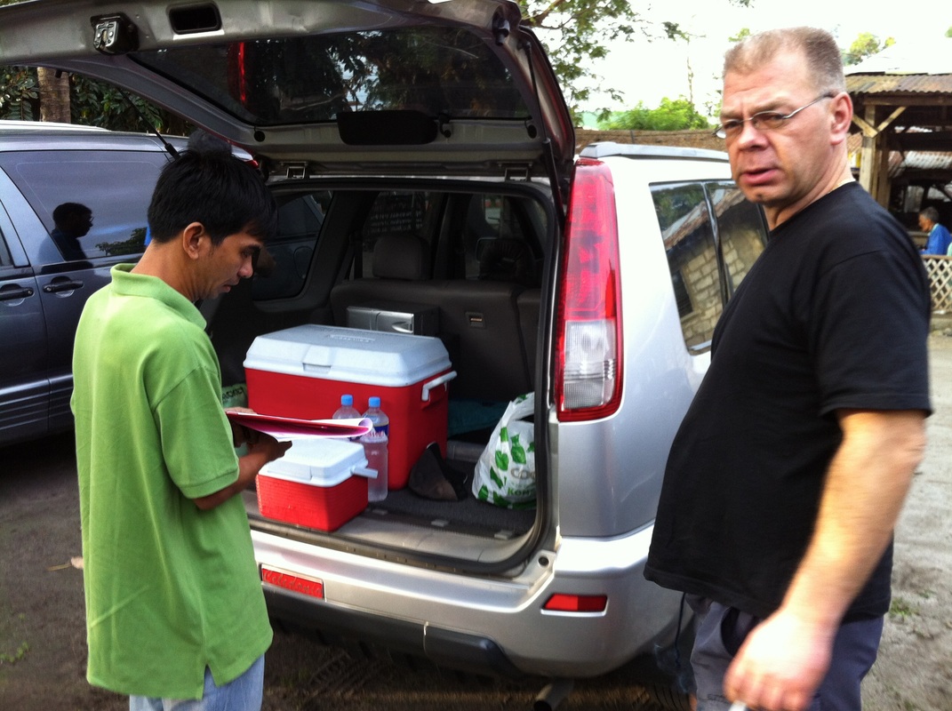
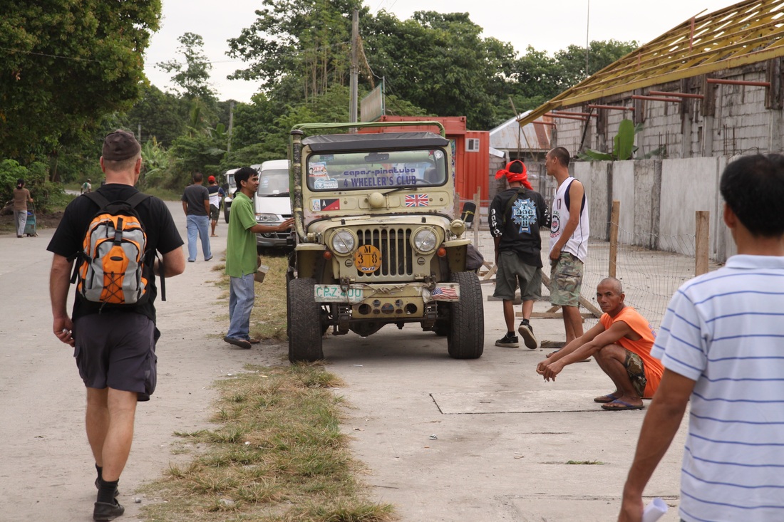
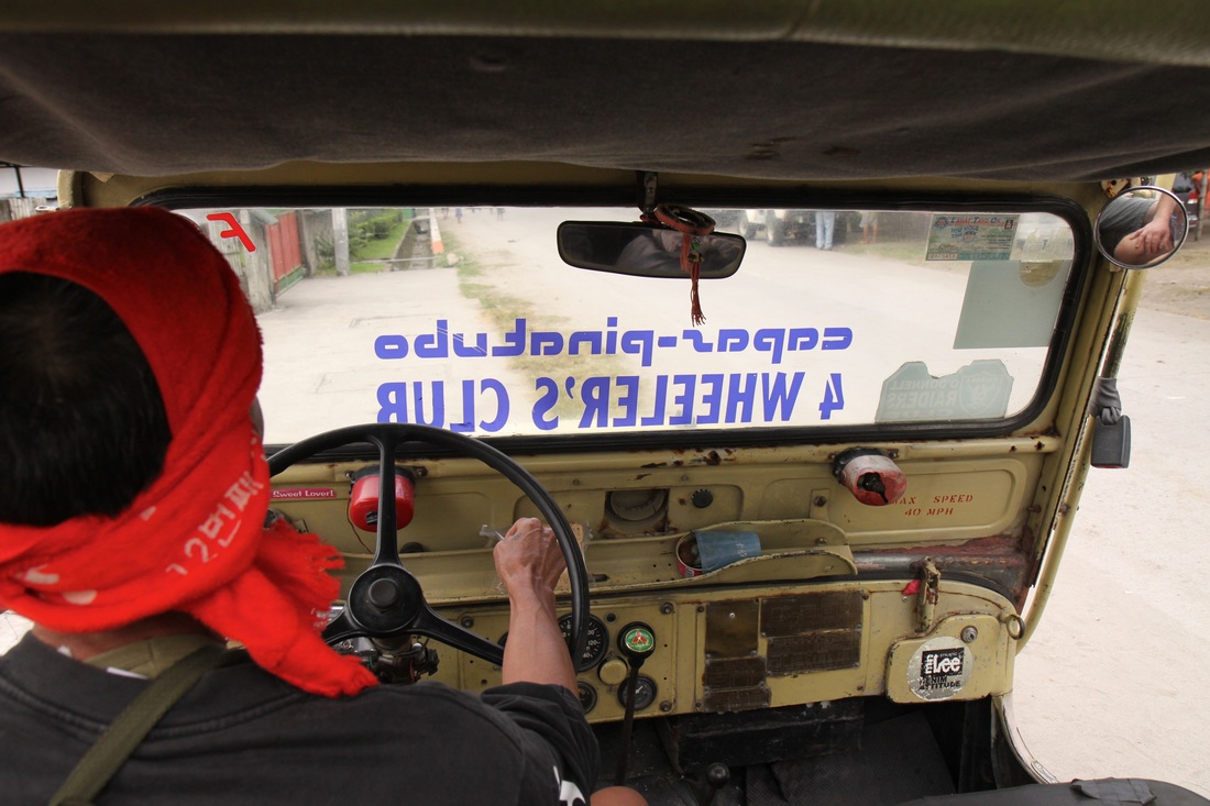
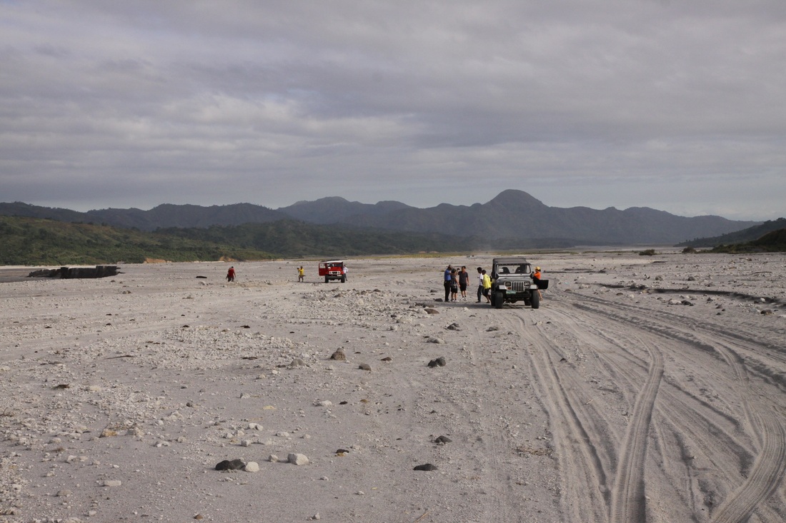
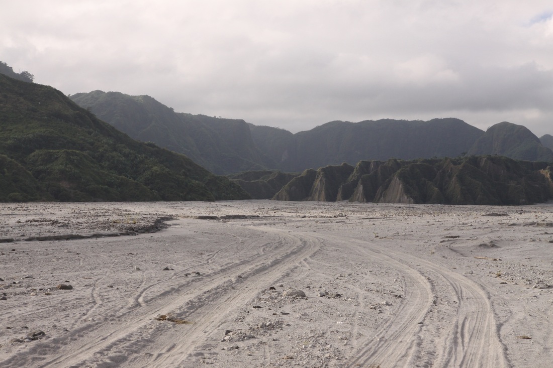
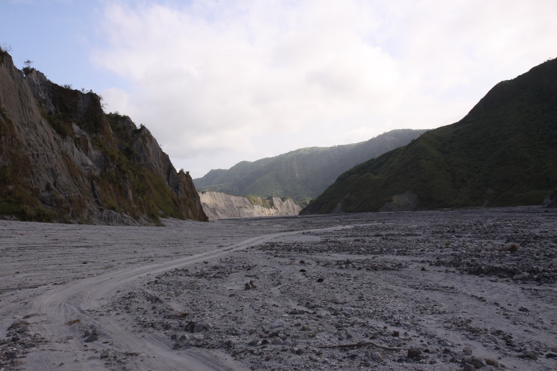
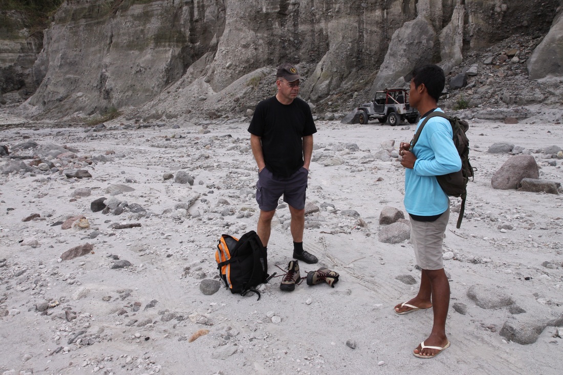
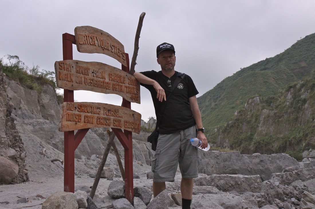
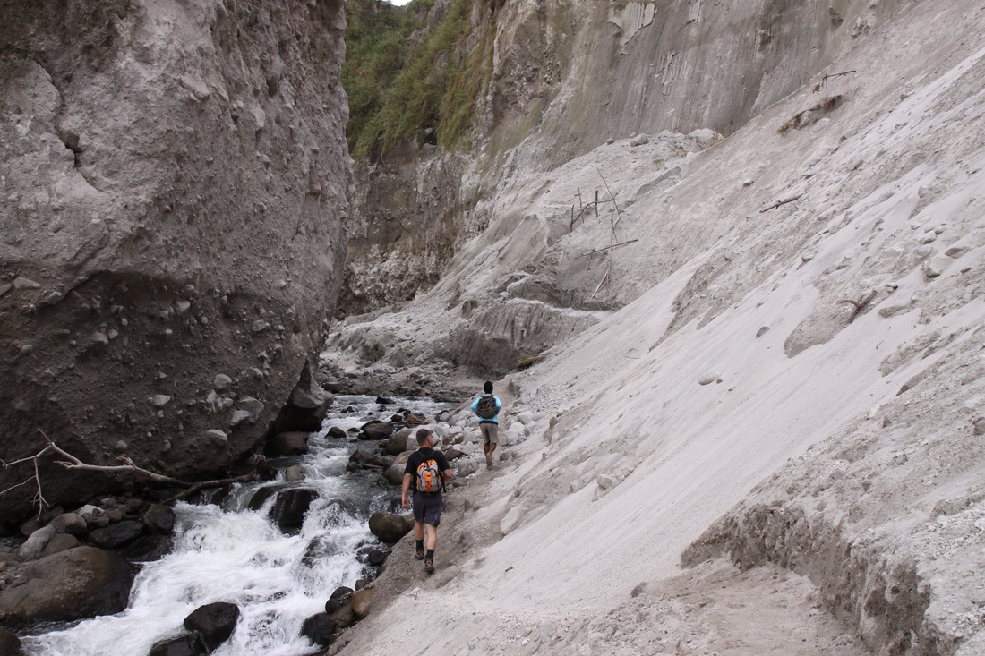
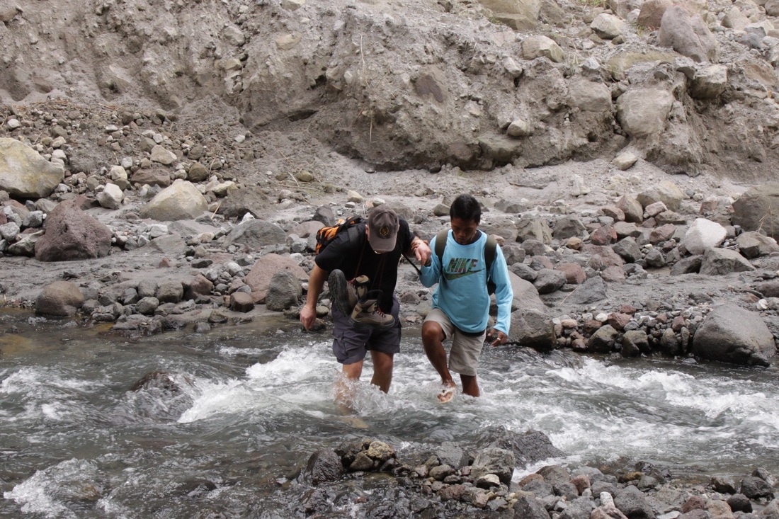
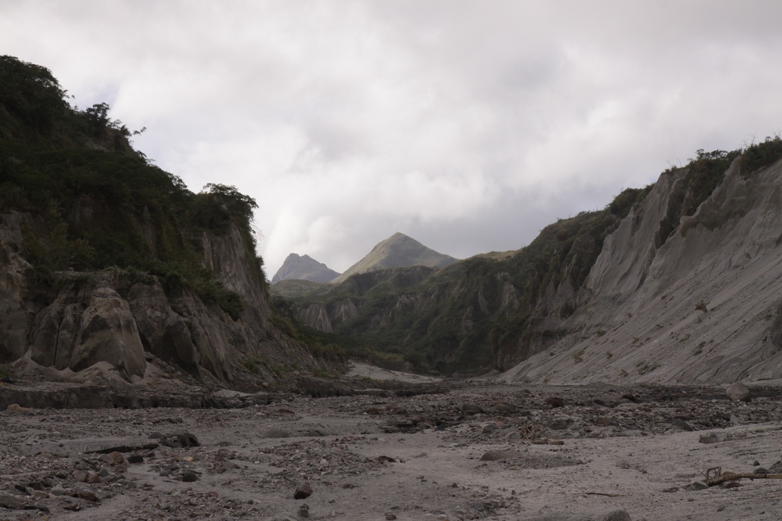
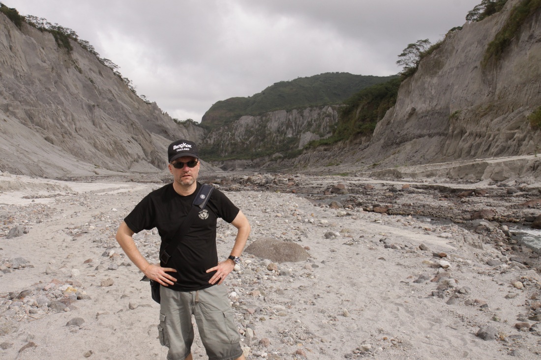
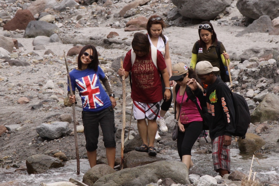
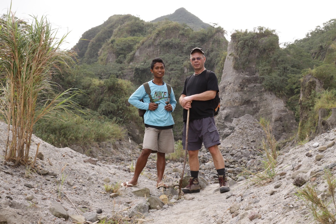
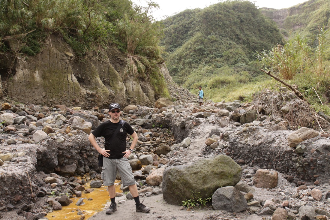
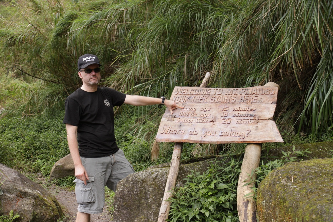
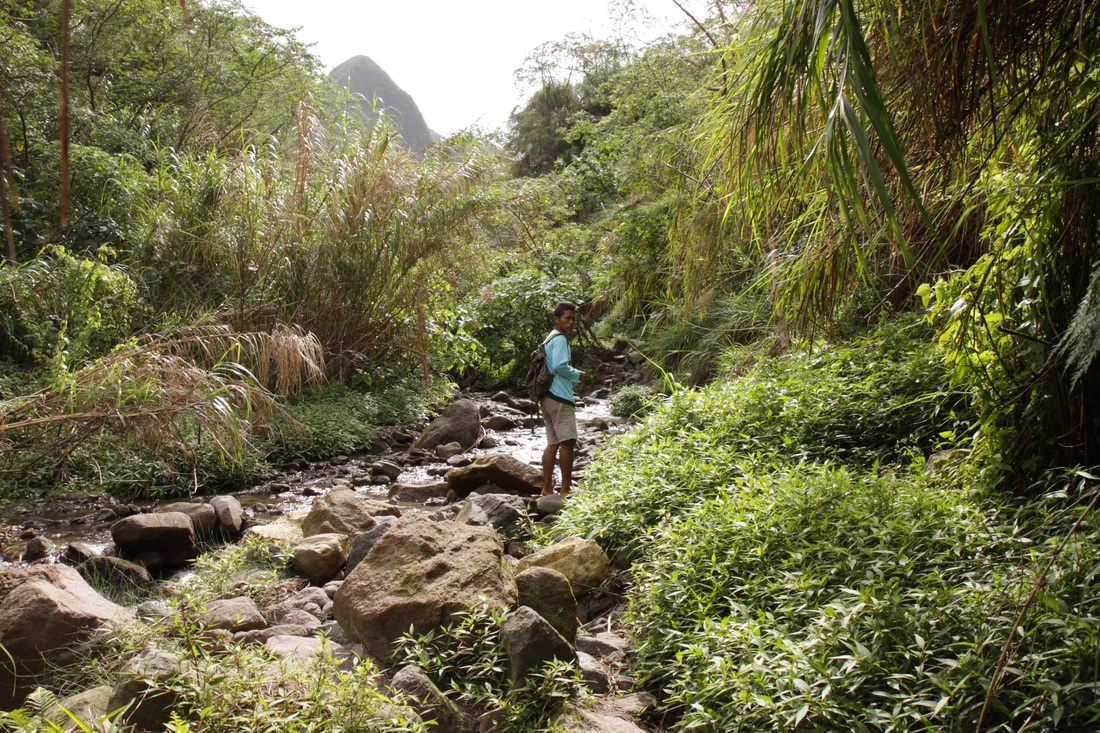
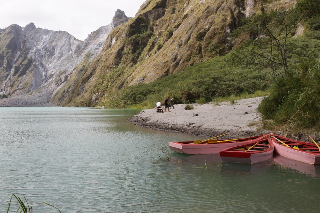
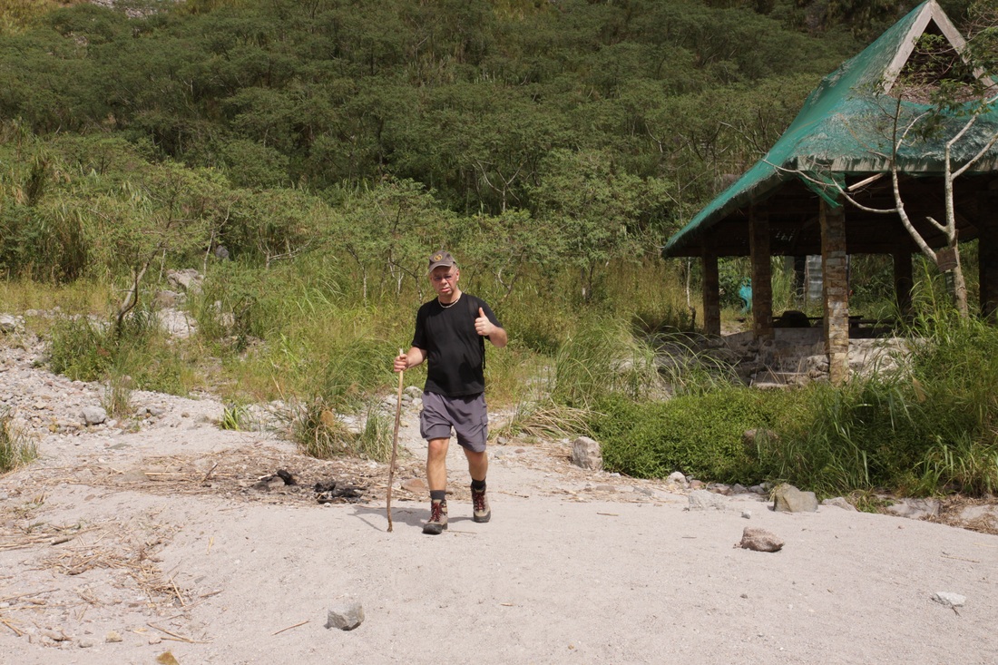
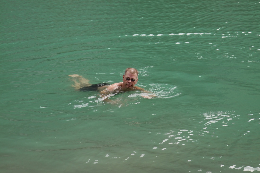
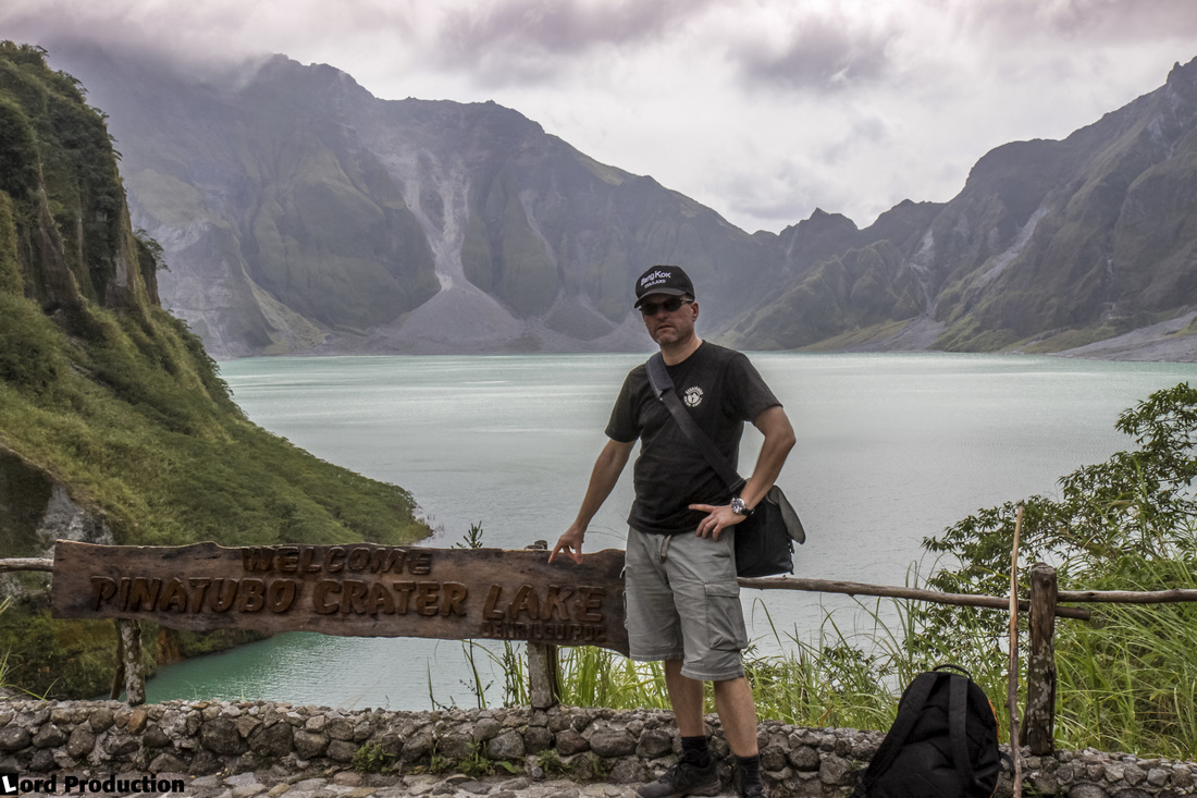
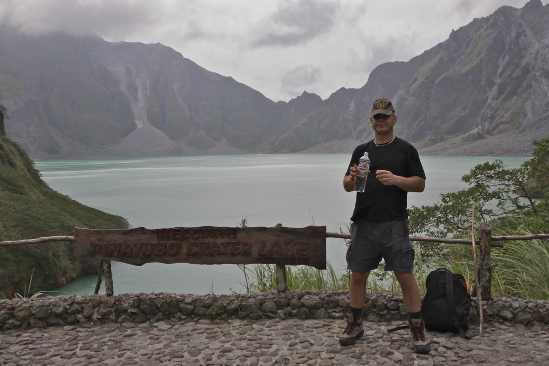
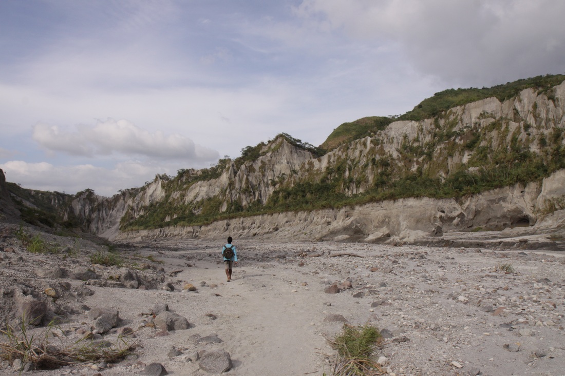
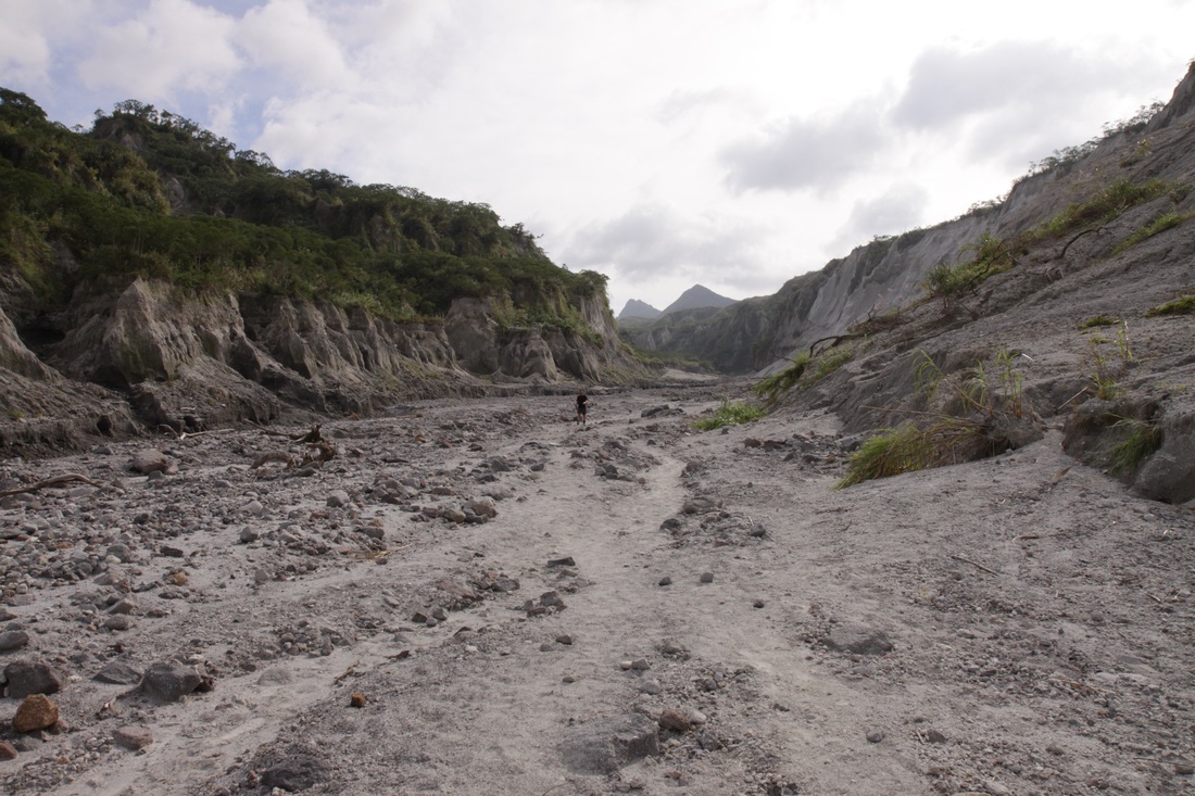
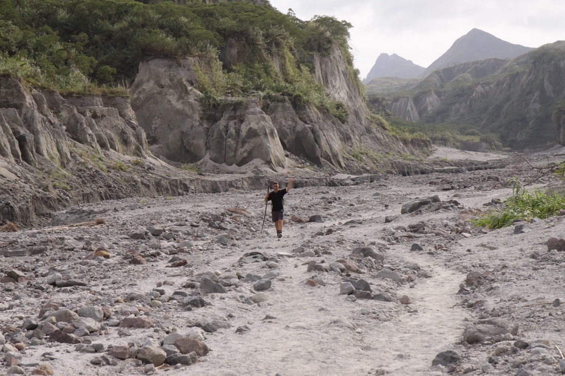
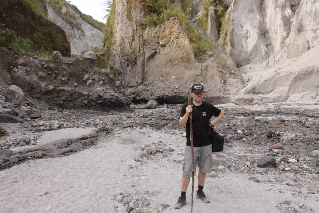
A crater lake, Lake Pinatubo, eventually formed in the 1991 caldera, with the 1992 lava dome forming an island. Initially, the lake was hot and highly acidic. Subsequent rainfall cooled and diluted the lake, lowering the temperature to 26 °C and raising the pH to 5.5 by 2003. Lake Pinatubo is the deepest lake in the country, 800 m deep with an average depth of 600 m and a surface elevation of 900 m. On the 26th of July 2011, a 5.9 magnitude earthquake struck close to Pinatubo, however no major damages or casualties were reported. In January 2012 me and a friend did a hiking trip up to the Lake Pinatubo. |
Note! Click on images to see slideshow and captions!


Related links:
Visit Intramuros in Manila
Manila American Cemetery & Memorial
Visit the Manila Chinese Cemetery
Review of Jatujak Thai Restaurant, Manila
Review of hotel Isabelle Royale in Makati, Manila
Review of Kyochon restaurant in Mall of Asia
Review of Arya Persian Restaurant in Pasay
Review of Casa Verde Boutique Hotel and Gardens, Imus, Manila
Review of Chili's Restaurant in Mall of Asia
Review of Burgoo, American Bar and Restaurant in Mall of Asia
Review of Pinoy Pamilya Hotel in Pasay
Review of 88 Courtyard Hotel in Pasay
Video clips Manila Ocean Park